
Kedah
Langkawi
Southeast Asia's first UNESCO Global Geopark — a 99-island archipelago of ancient rock, mangroves and beaches off the coast of Kedah.
A Geopark, Not Just a Beach
Langkawi UNESCO Global Geopark was established on 1 June 2007 and covers roughly 478 km² of land (920 km² including surrounding waters), managed by Malaysia's Langkawi Development Authority (LADA). The geopark's conservation status means development and activities in its geoforest parks are managed to protect geological and ecological features that formed over hundreds of millions of years — this is a conservation area first, and a resort destination second.
Source: Langkawi UNESCO Global Geopark, official LADA site (langkawigeopark.com.my); UNESCO International Geoscience and Geoparks Programme.
The Four Geoforest Parks

Machinchang Cambrian Geoforest Park
Cambrian rock formations over 550 million years old, among the oldest exposed rock in Southeast Asia.
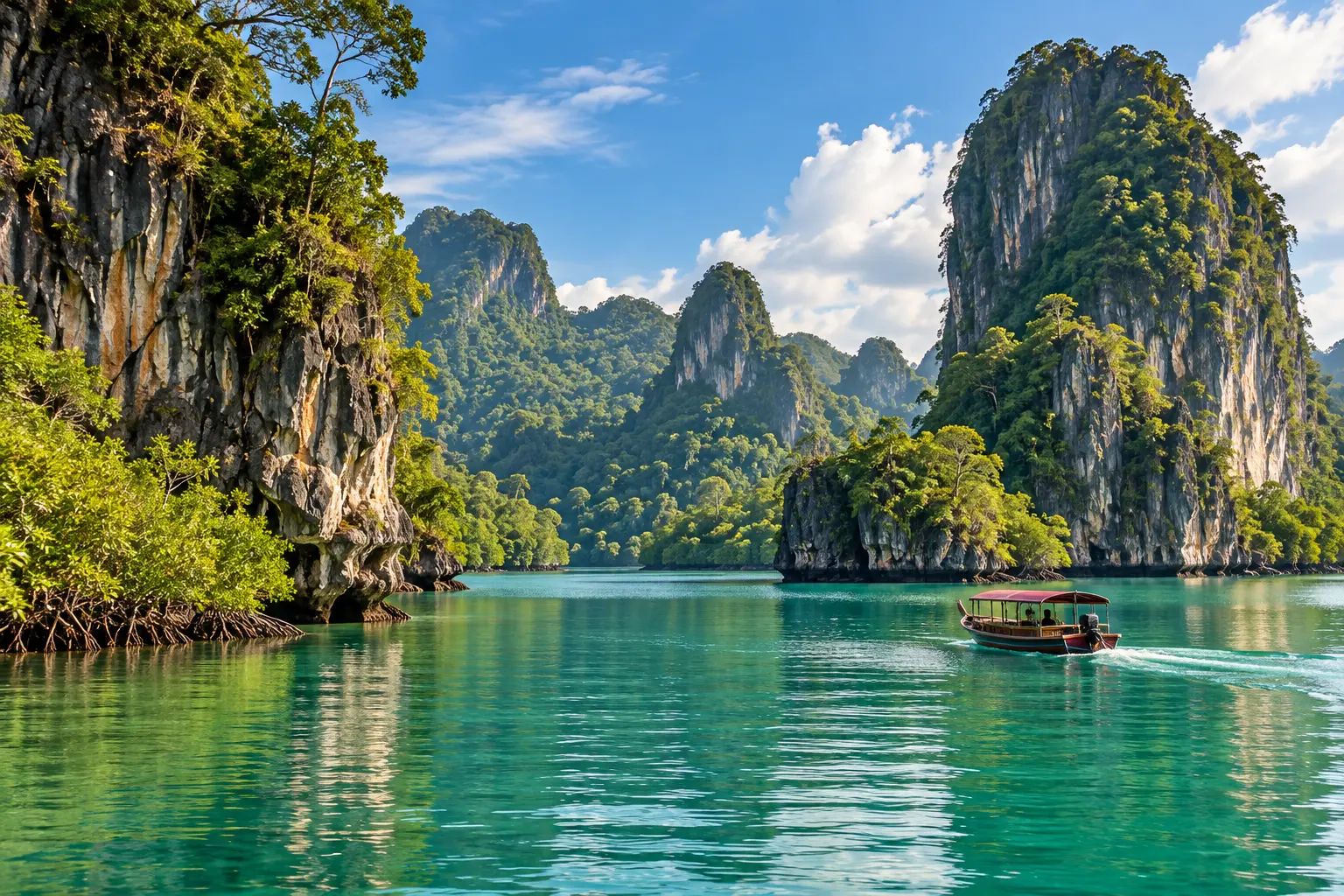
Kilim Karst Geoforest Park
Limestone karst and mangrove ecosystem carved by tidal and river action.
Dayang Bunting Marble Geoforest Park
Marble-based geology, home to Dayang Bunting Lake.
Kubang Badak BioGeoTrail
A smaller geotrail area within the wider geopark network.

Boat trips into the Kilim Karst mangrove area, cable car access to Gunung Mat Cincang, and conditions at any geoforest park can change with weather, tides and conservation management decisions. The True Malaysia does not sell tours or set access rules — confirm current routes, conditions and any permit requirements directly with LADA or a licensed local operator before you book.
The True Malaysia is an independent information platform, not LADA, a government body or a booking service. Generated visuals are editorial illustrations, not evidence of exact conditions.